Difficulty: Easy
Journey: Approx. 11 km Pedestrian and cyclotourist use.
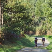
The route forms part of one of the stages of the Camino del Norte which, from Gijón to Avilés, runs 23 km through the municipality of Carreño, allowing hórreos and paneras cut and painted in the Carreño style, water mills and Rodezno, Casonas and palacios to be seen.
Starting from Poago in Gijón, we take the path to the foothills of the Mount Rouge, climbing through the Loma de San Pablo and then descending to Guimarán, passing through the neighbourhoods known as El Fondo and Cespedera.
The road continues through El Valle, Ambas parallel to Loma Cortina until it reaches Tamón, where it links to the road from Oviedo to Avilés.
The journey is marked by markers with the identification shell.